Citizen science project analyzes data to model treetop snowpack and predict melt
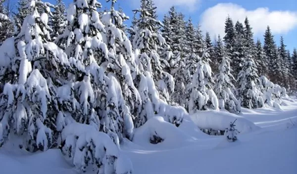
Participants in a citizen science project, created by University of Washington researchers and funded in part by the U.S. National Science Foundation, viewed time-lapse images from Colorado and Washington and tagged photos that had trees with snow on their branches.
The project, named Snow Spotter, aims to model the amount of water from melting snowpack caught in the tree canopy. The data from the experiment will shed light on how snow caught in and melting from the tree canopy varies between climates and the effect on seasonal water supply.
"Skiers and other snow enthusiasts know the snow in Colorado compared to that in Washington is really different,” said Cassie Lumbrazo, lead author of a paper reporting the results. “But until now, there hasn't been an easy way to observe how these differences play out in the tree canopy. This project leverages volunteers to get some hard data on those differences. Another benefit is that it introduces volunteers to how research works and what snow hydrology is."
Snow caught in trees falls to the ground, where it adds to the snowpack, is turned into water vapor by the wind, or melts. Modeling hydrology and predicting climate variability over time is complex. Time-lapse images taken in remote locations over a long period of time provided the data, and citizen scientists added analysis.
Thousands of volunteers categorized 13,600 images from remote U.S. locations into images that showed snow on tree branches, images that didn't, and images that were inconclusive. In the future, the dataset could be used to train machine learning in analyzing the images.
"When the project started, I don't think anyone knew how successful it was going to be," said Lumbrazo. "But citizen scientists were processing it so fast that we kept running out of images for people to classify."
The researchers intend to add images of snowpack across the globe to include different climates and precipitation patterns to the dataset.


